Copernicus Sentinel Earth Observation Missions
By default the EOxCloudless data offer is based on Sentinel-2 source data with convenient and efficient data refining and delivery. We have in-house tools to address Sentinel-1 data processing and delivery, however these are not off-the-shelf. EOxCloudless also offers integration of very high resolution imagery (VHR) into the default 10 meter resolution datasets. For other data types and sources, depending on the requirements a custom data source, processing and delivery we offer custom solutions.
Sentinel-1 Mission
Sentinel-1 carries C-band Synthetic Aperture Radar (SAR) instruments. These instruments operate at a frequency of 5.405 GHz with a wavelength of approximately 5.6 cm.
Sensor Characteristics
- SAR Mode: Interferometric Wide Swath (IW) mode is the primary operational mode, covering a swath of 250 km with a spatial resolution of 5 m × 20 m (range × azimuth).
- Polarization: Sentinel-1 operates in dual polarization modes: VV+VH or HH+HV, depending on acquisition scenario.
- Imaging Geometry: Side-looking SAR with incidence angles ranging approximately 29° to 46°, enabling surface roughness and structure analysis.
- Orbit: Sun-synchronous, near-polar orbit at 693 km altitude, 12-day repeat cycle for each satellite; constellation repeat cycle is 6 days, enabling high temporal revisit.
Data Products and Applications
- Level-1 Single Look Complex (SLC) for interferometry and coherent change detection.
- Level-1 Ground Range Detected (GRD) for general imaging applications.
- Applications include surface deformation mapping, flood monitoring, sea ice mapping, and maritime surveillance.
Sentinel-2 Mission
Sentinel-2 is equipped with the MultiSpectral Instrument (MSI).
- Swath Width: 290 km per satellite.
- Spatial Resolution: 10 m (visible, NIR), 20 m (red edge, SWIR), 60 m (atmospheric bands).
- Radiometric Resolution: 12-bit
- Revisit Time: With both satellites, revisit is 5 days at the equator; shorter at higher latitudes due to orbit overlap.
- Orbit: Sun-synchronous, near-polar orbit at ~786 km altitude, local solar time ~10:30 am (descending node).
Data Acquisition and Products
Level-1C:
- Orthorectified top-of-atmosphere reflectance in UTM/WGS84 projection.
- Type: Top-of-Atmosphere (TOA) reflectance
- Bands: All 13 MSI bands, including Band 10 (Cirrus)
- Purpose of Band 10: Detects high-altitude clouds — only meaningful before atmospheric correction
- Corrections:
- Geometrically corrected (orthorectified)
- No atmospheric correction
- Use Cases: Suitable for users who apply their own atmospheric correction or require raw reflectance values for specific models
- Includes:
- Full spectral range (13 bands)
- TOA reflectance
- Granule tiling and metadata
Level-2A:
- Surface reflectance products after atmospheric correction (Sen2Cor).
- Type: Bottom-of-Atmosphere (BOA) reflectance
- Bands: 12 bands — excludes Band 10
- Reason for Exclusion: Band 10 is designed to detect cirrus clouds in TOA data and becomes irrelevant after atmospheric correction
- Corrections:
- Includes atmospheric correction via the Sen2Cor processor
- Generates Scene Classification Layer (SCL) with land, water, cloud, and shadow labels
- Use Cases: Recommended for most analysis-ready workflows (e.g., vegetation indices, time series)
- Includes:
- 12 spectral bands (excluding Band 10)
- BOA reflectance
- Scene Classification Layer
- Quality masks (e.g., cloud, shadow, saturation)
- Granule tiling and metadata
Auxiliary Data:
- Scene classification maps, cloud and shadow masks, and quality indicators.
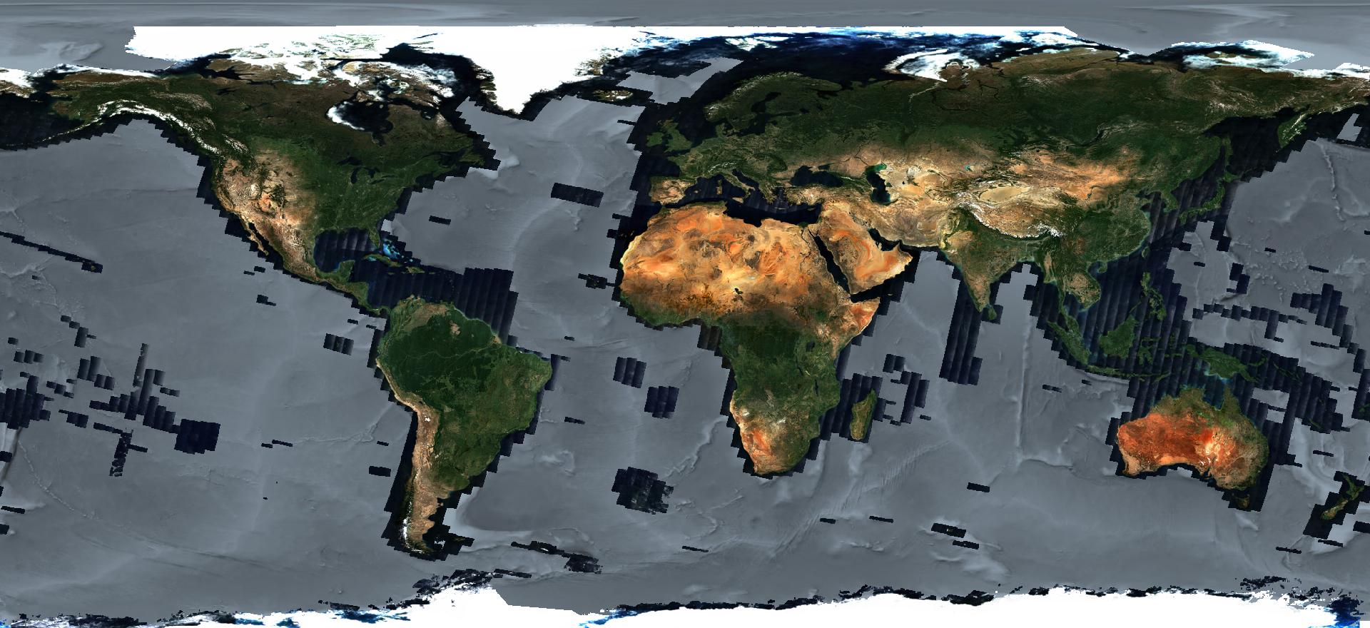
The Sentinel-2 acquisition coverage is over land masses, without some minor islands in the oceans. The coverage also does not cover poles due to the sun-synchronous orbit path.
Sentinel‑2 Channel Bandwidths for 2A and 2B
| Band | Wavelength (nm) | Bandwidth 2A (nm) | Bandwidth 2B (nm) | Resolution (m) | Typical Use |
|---|---|---|---|---|---|
| B1 | 443 | 20 | 21 | 60 | Coastal/Aerosol |
| B2 | 490 | 65 | 66 | 10 | Blue |
| B3 | 560 | 35 | 36 | 10 | Green |
| B4 | 665 | 30 | 31 | 10 | Red |
| B5 | 705 | 15 | 16 | 20 | Vegetation red edge 1 |
| B6 | 740 | 15 | 15 | 20 | Vegetation red edge 2 |
| B7 | 783 | 20 | 20 | 20 | Vegetation red edge 3 |
| B8 | 842 | 115 | 106 | 10 | Near Infrared (NIR) |
| B8a | 865 | 20 | 21 | 20 | Narrow NIR |
| B9 | 945 | 20 | 21 | 60 | Water vapour |
| B10 | 1375 | 30 | 31 | 60 | Cirrus detection |
| B11 | 1610 | 90 | 94 | 20 | SWIR 1 |
| B12 | 2190 | 180 | 185 | 20 | SWIR 2 |