Prerendered
Ready-to-use maps for web and offline usage.
For backgrounds and visualization (MapCache SQLite, GeoPackage, GeoTiffs).
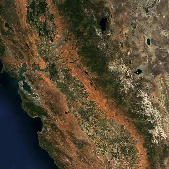
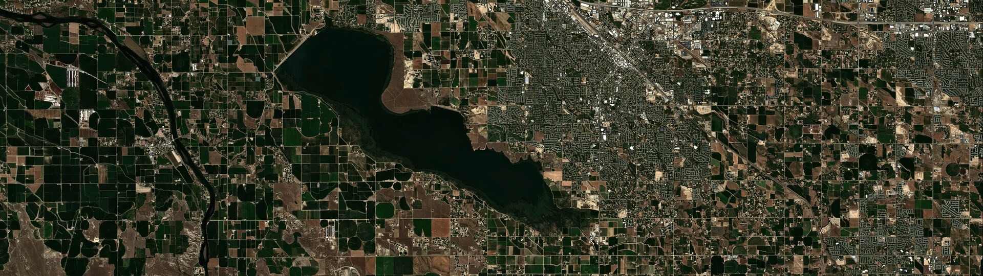
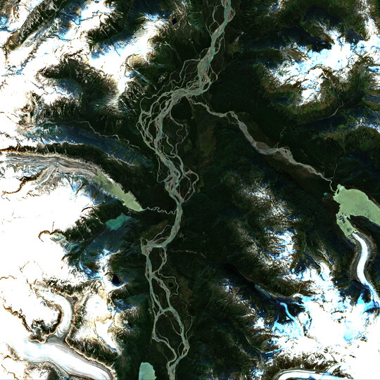
Get quick access to cloud-free Sentinel-2 mosaics optimized for viewing. The lightweight map layers are ideal for visualization, map integration, and location-based applications - available globally and updated manually.
EOxCloudless Viewing Ready single-file
A prerendered map used at s2maps.eu (mosaic combined with bathymetry and ocean mask) available both as GeoPackage and MapCache SQLite file for self-hosting or offline usage.
Standard SLA applies. Customized support available on request.
EOxCloudless Viewing Basic GeoTiffs
Unmasked, lossless compressed, and color corrected 8-bits RGB GeoTIFF tile dataset which you can use to create your own flavor of the satellite map.
| Feature | Viewing Basic | Viewing Ready |
|---|---|---|
| Resolution | 10m | 10m |
| File Format | GeoTIFF TileDirectory | GeoPackage / SQLite |
| Projection | EPSG:4326 / EPSG:3857 | EPSG:4326 / EPSG:3857 |
| Bit Depth | 8-bit RGB | 8-bit RGB |
| Bands | RGB | RGB |
| Compression | deflate (lossless) | JPEG (lossy) |
| Ocean Handling | No fill | Bathymetric fill |
| Radiometry | Tonemapped | Tonemapped |
| Zoom Levels | 0–13 / 0–14 | 0–13 / 0–14 |
| Use Cases | Basemaps | Basemaps |
EOxCloudless WM(T)S layers are free to use for non-commercial purposes, provided appropriate attribution is given. For details on license conditions and attribution, see our Non-commercial use.
For technical integration guidelines and service capabilities, please refer to the Usage Section in our documentation. You can also explore our Examples for all the products we offer, and test integration of various formats and subsets.
Not found what you’re looking for? Have a look at Exploitation products.