Analysis Ready
Atmospherically corrected and radiometrically consistent.
For data analysis (scientific/remote sensing use).
4 band (RGB + NIR) global mosaics for further analysis and processing purposes.
EOxCloudless Exploitation Ready (16-bits)
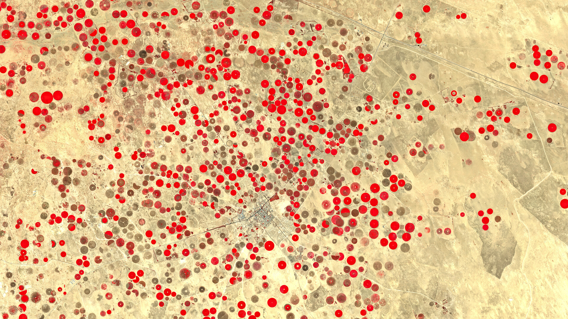
A full-resolution, atmospherically corrected product for advanced analytics. Includes all key Sentinel‑2 bands used in vegetation, water, and land cover studies.
EOxCloudless Exploitation Starter (8-bit)
An entry-level product for lightweight remote sensing analysis. Includes reflectance-scaled RGB and NIR bands.
| Feature | Exploitation Starter | Exploitation Ready |
|---|---|---|
| Resolution | 10m | 10m |
| File Format | GeoTIFF TileDirectory | GeoTIFF TileDirectory |
| Projection | EPSG:4326 | EPSG:4326 |
| Bit Depth | 8‑bit reflectance | 16‑bit reflectance |
| Bands | B04, B03, B02, B08 | B04, B03, B02, B08 |
| Tile Layout | TilePyramid | TilePyramid |
| Compression | deflate (lossless) | deflate (lossless) |
| Ocean Handling | No‑data = 0 | No‑data = 0 |
| Radiometry | Scaled reflectance | Full reflectance |
| Zoom Levels | 0–13 | 0–13 |
| Use Cases | Basic Analysis | Advanced Analysis |
EOX provides custom data format conversion services to deliver Sentinel-2 mosaics in a variety of raster formats fully compatible with the GDAL ecosystem.
Highlight: Custom Color Correction, Seasonal Mosaics (e.g., Winter), and High-Resolution Data Integration.
These formats include GeoTIFF (including CloudOptimized GeoTIFF), MBTiles, and other widely used geospatial raster standards. This enables seamless integration into GIS and remote sensing workflows, facilitating analysis, visualization, and processing with popular open-source tools and libraries. Conversions can also include customized tiling schemes or optimized compression tailored to your specific use case, ensuring efficient storage and fast access.
To inquire about seasonal mosaics, high-resolution data integration, custom color correction, data formatting, or bulk delivery options, please contact us via email at cloudless@eox.at. We are happy to talk about the most suitable configuration and provide a quote tailored to your requirements and regions of interest.
Not found what you’re looking for? Have a look at Viewing products.