Skip to content
Industries
Sustainability & Environmental Protection
High-quality, cloud-free satellite imagery is a crucial tool for global biodiversity monitoring and environmental protection initiatives.
Tracking ecosystem health, land-use changes, deforestation, and species habitats at planetary scale requires consistent, cloud-free views of the Earth's surface; this is exactly what EOxCloudless provides.
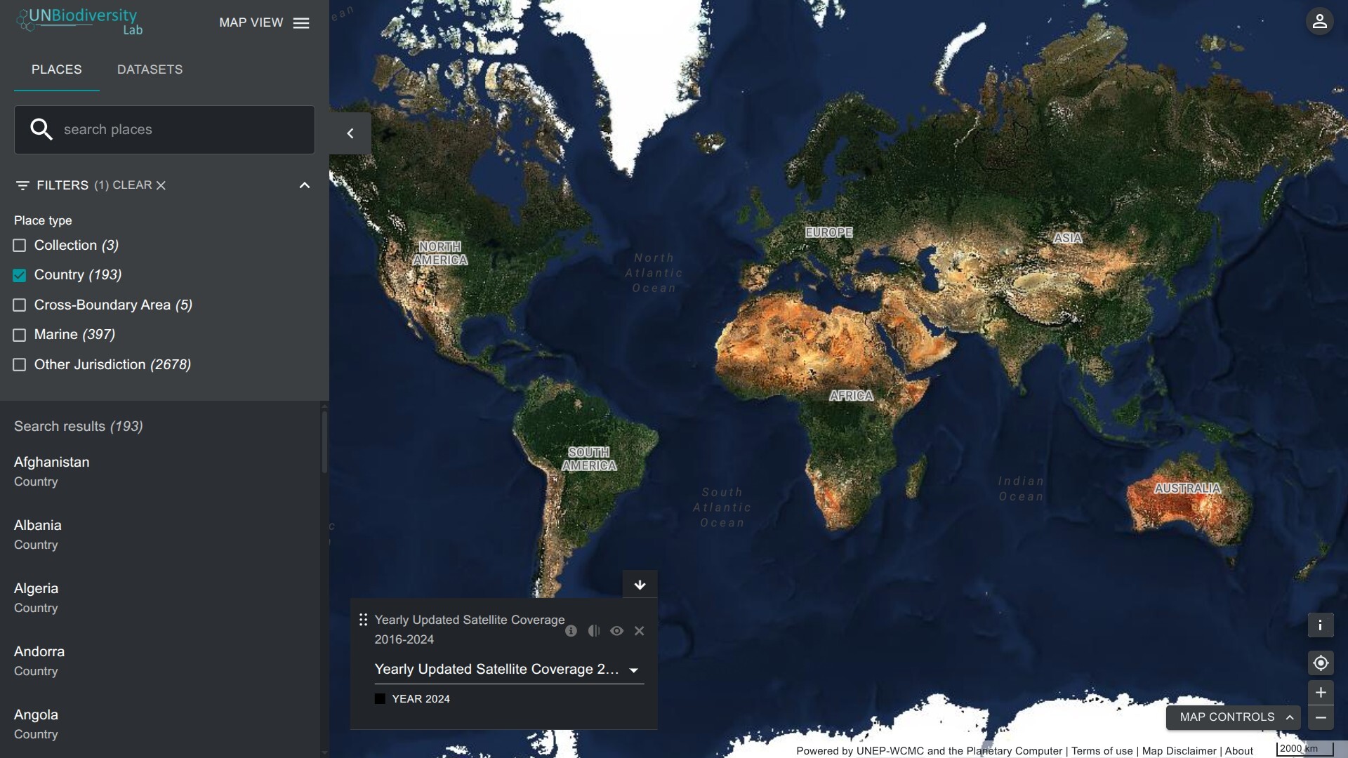
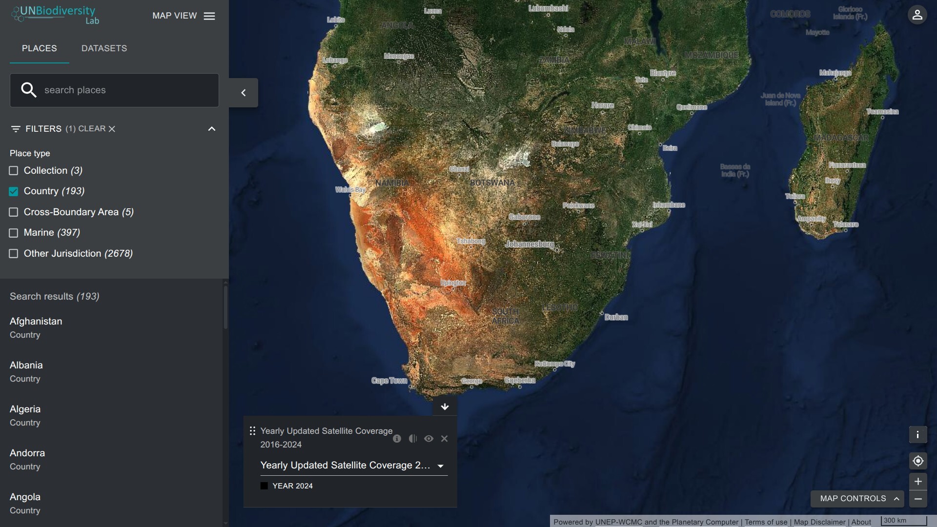
Organizations working on the UN's Global Biodiversity Framework use such imagery to measure progress toward conservation targets, map protected areas, and detect threats to critical ecosystems in near real-time. EOxCloudless supports these efforts with annual global mosaics at a 10-meter resolution, combined with the ability to process custom optical and radar datasets tailored to specific environmental monitoring needs — a practical foundation for the evidence-based policymaking that international biodiversity goals depend on.
Example: UN Biodiversity Lab Map
Why to Use EOxCloudless for Sustainability and Environmental Protection
- Deforestation Tracking: Annual mosaics highlight changes in forest cover.
- Public Awareness: High-quality visuals for reporting and advocacy.